Measuring the Invisible
Portfolio presentation · HSE University, School of Design · Environmental and Interior design · 2026
Every place has a layer you cannot see. I can show what cities hide.
Evelina Kalugina · Environmental designer and urban analyst in training
A portfolio for the MSc Smart Cities and Urban Analytics (CASA, UCL, UPenn)
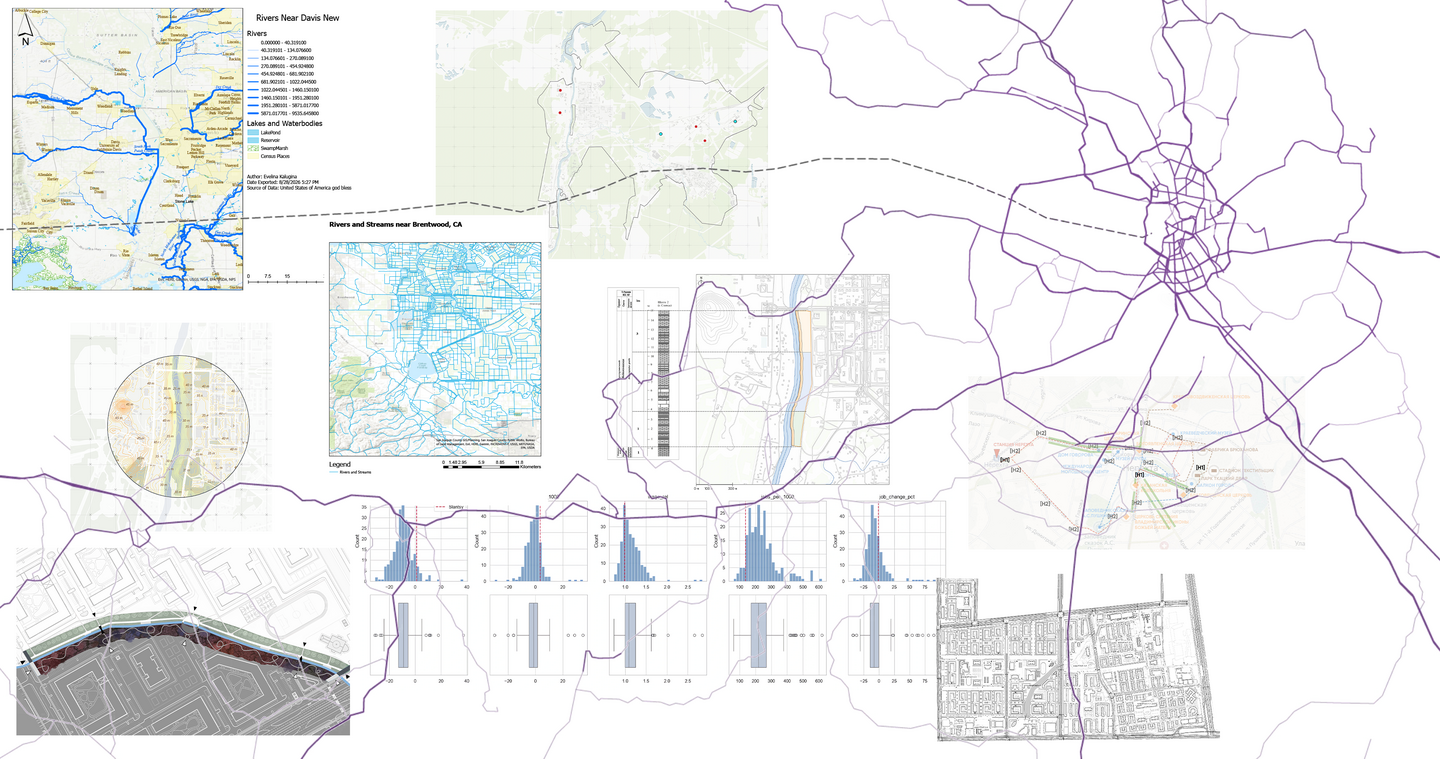
Maps and analyses from my GIS training and projects, 2024 to 2026.
one landmark → one site → one town → a town in a national network
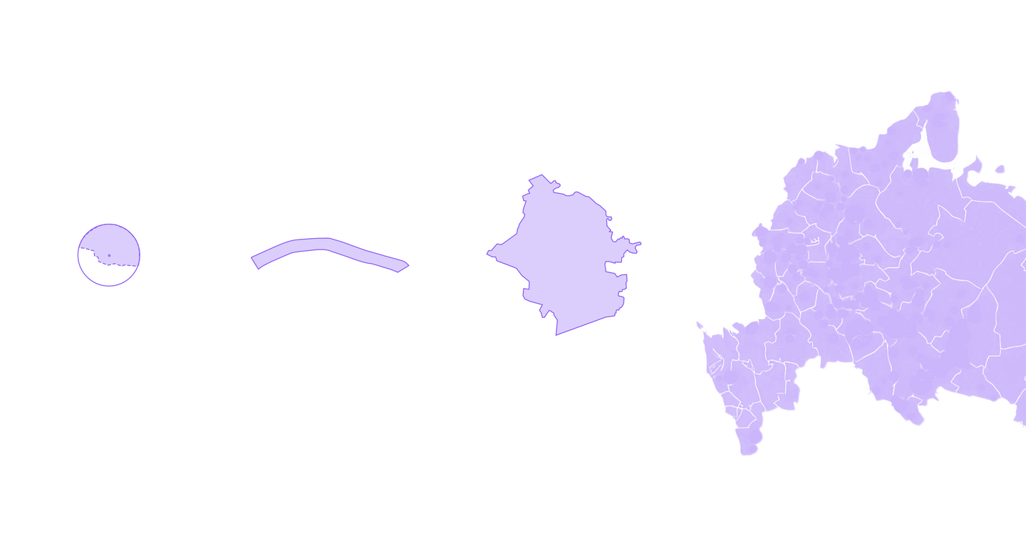
Depiction of scales is approximated in this picture
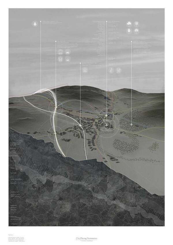
I am a spatial designer who has started to measure the city. I can already make urban data visible, and I want to learn at ___ to model it. Four projects follow, each larger in scale and more grounded in evidence than the last: from one landmark on the shore to a network of 264 towns.
Act I · Seeing
Act II · Measuring
Act III · Mapping
Act IV · Testing the system
Act I · Seeing
Theatre of Sunsets. Scale: one landmark
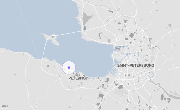
Awarded 3rd place in the National «City-Garden» competition · Theme park on the waterfront · Peterhof, St Petersburg · 2025 · Individual project · 3ds Max, Corona, Unreal Engine, Photoshop
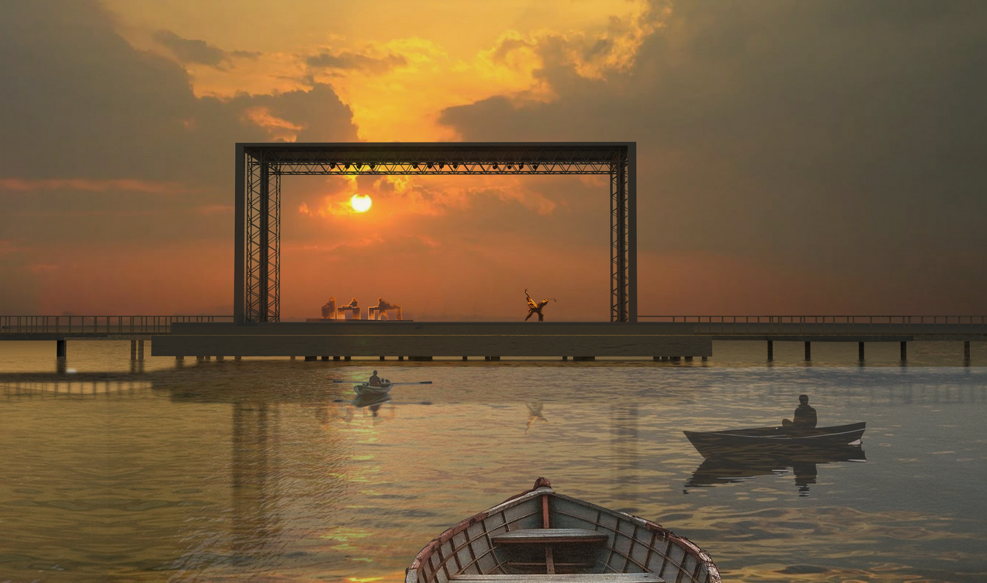
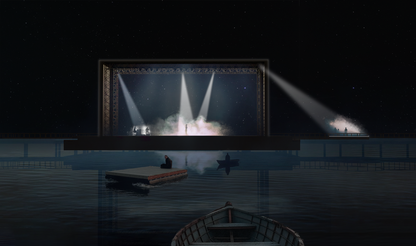
Theme park on the waterfront · Peterhof, St Petersburg · 2025 · Individual project · 3ds Max, Corona, Unreal Engine, Photoshop
Problem: A shore people already love, but can’t use: no path around the lighthouse, no seating, rubbish and graffiti everywhere.
My site survey found no path between the beaches around the lighthouse, narrow overgrown paths on the spit, concrete rubble instead of an embankment, no benches or bins, rubbish near the water and graffiti that speeds up decline. The potential: a picturesque shore with an unusual landmark, already used by tourists and locals.
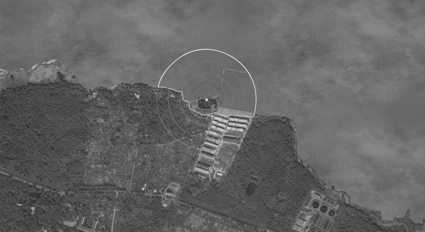
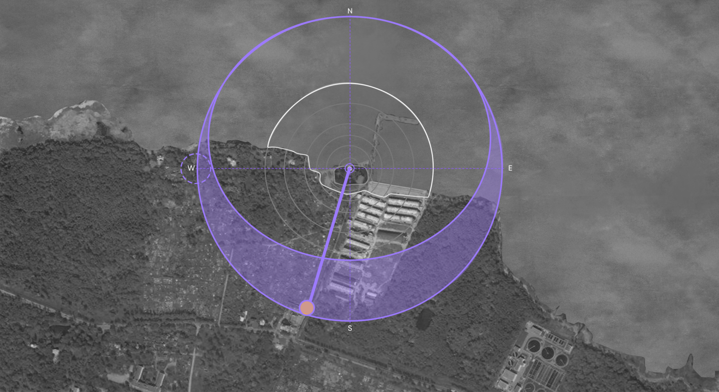
Hidden → Revealed (sun path)
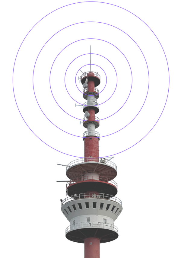
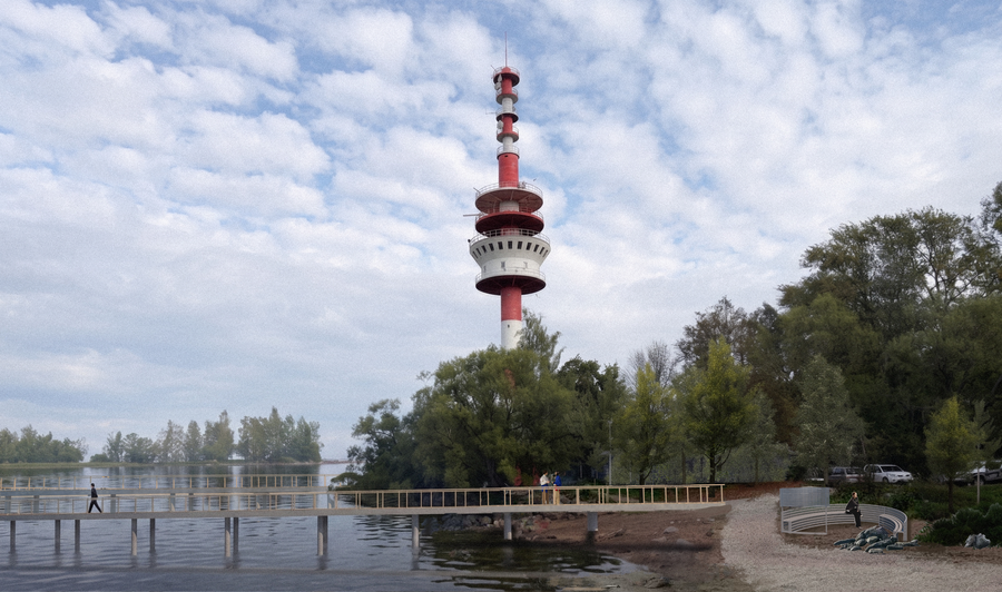
The site has a single dominant: a radar lighthouse, visible from both the shore and the water. Around it lie open water and the horizon over the Gulf of Finland, where the sun sets. I read these two givens on site, by eye, and made them the only fixed points of the design.
Idea: Build with light and time instead of concrete.
The plan spreads in concentric rings from the lighthouse, like circles on water. Four zones follow the visitor’s scenario: an entrance that introduces the place, a stage on the water, a walking spit, and glamping on the water. The stage opens for sunsets and closes for concerts. People watch from rafts and boats, not seats. Walkways stand on piles to leave the ecosystem untouched.
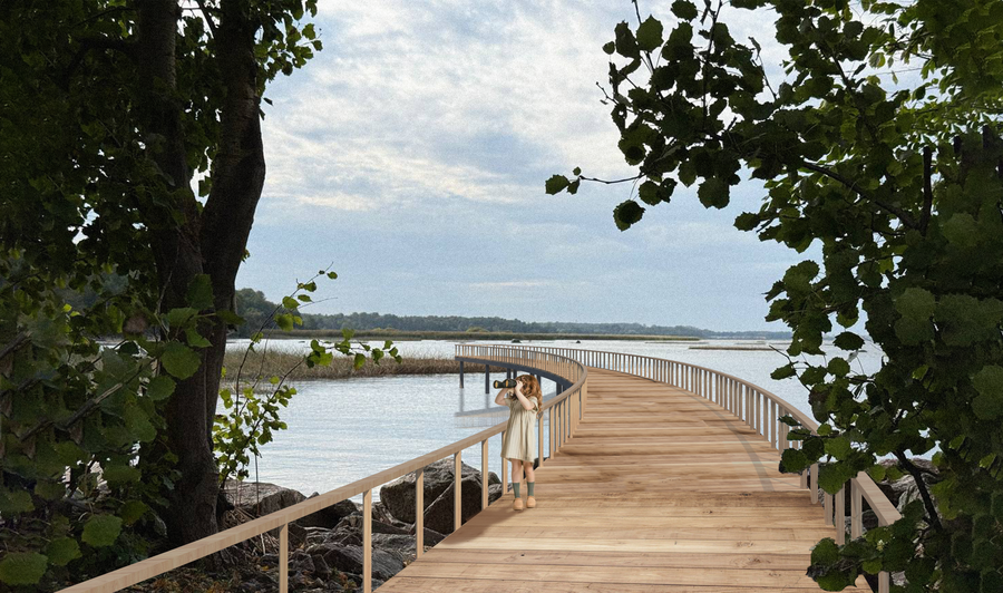
Results
1.3rd place in the national «City-Garden» competition, category «Urban Ecosystem: Projects, Innovations and Meanings», 2026.2. An Unreal Engine flythrough showing the park from day to night.3. A neglected shore designed to become a destination.
Watch the park from day to night: a flythrough in Unreal Engine
What this proves: I can turn one condition of a place into a whole spatial concept, and make people see it.
Act II · Measuring
Light and Shade. Scale: one site
Awarded 1st place in competition by Setl Group · Park in a residential quarter · Paradny Ansambl, St Petersburg · 2026 · Team of 3 · 3dsMax, Photoshop, SketchUp
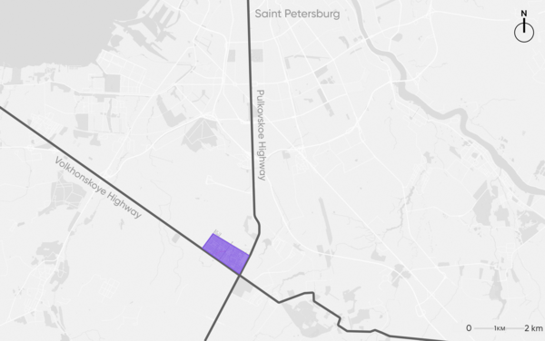
Paradny Ansambl, a new residential quarter in the south of St Petersburg, between the Pulkovskoye and Volkhonskoye highways.